
Whitehorse, YT to Dawson City, YT
Canada

We couldn’t have asked for better weather to leave Whitehorse and fly the 75nm (140km) route following the Alaska Highway to Haines Junction. As we approached Haines Junction (CYHT) over Pine Lake we enjoyed great views of 8,400’ Mt. Archibald, standing as a gatekeeper to the entrance to Kluane National Park. Upon landing in Haines Junction we met an inviting and cheerful pilot (Stewie) who works for a local company that does airtours around Kluane National Park using a Cessna 206. He confirmed our assessment of weather and wind conditions for the following morning and gave us advice on routes into and out of the vast wilderness area. Having flown around Denali in Alaska, Ian was expecting a similar amount of air traffic and reporting points, but Kluane it turns out is much, much quieter…

Haines Junction
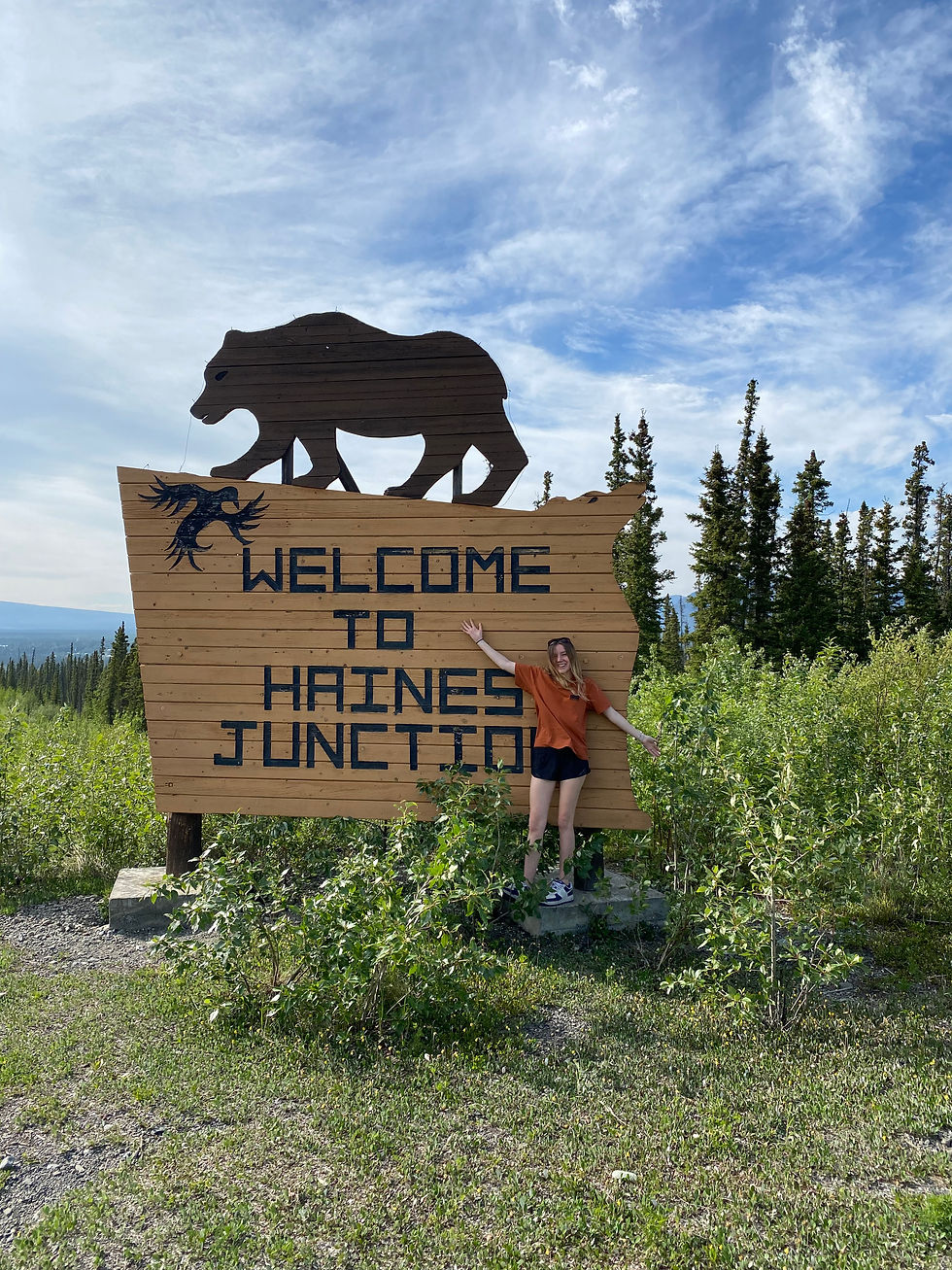
We got a ride into Haines Junction with a local helicopter pilot who gave us a quick tour of the village and pointed out the Village Bakery that would have live music later in the evening. Haines Junction is a town of maybe 600 people that has a cool, laid back, small-outdoor-mountain-adventure-town vibe that reminded the 5intheSky team of Pemberton, B.C. We had a room booked at a small motel walking distance to town. The rooms were basic but clean, and afforded a spectacular view of the surrounding mountains.
We walked into town for dinner at the Mile 1016 Pub, a reference to its location at mile 1016 of the Alaska Highway and then wandered over to the Village Bakery and hung-out on the patio listening to a great local band, as smoke from the campfire wafted over the crowd, keeping the mosquitos at bay.

We were at the airport by 7am and ready to go, as everyone was excited to see the vast icefields, Kluane National Park and Mt. Logan, Canada’s highest mountain peak. We followed the Alsek River and climbed above the Lowell Glacier and up to the Hubbard Glacier. The area is the largest non-polar icefield in the world, and as we circled higher, we were (as far as we could tell) the only airplane flying in the vast wilderness area. Our radio was completely quiet.
Elevation of the Hubbard Glacier rose to around 10,000’, with the surrounding peaks reaching thousands of feet higher and Mt. Logan topping out over 19,500’. Legally we can fly up to 10,000’ above sea level, and above 10,000’ up to 13,000’ for no more than 30 minutes, without the use of supplemental oxygen. At our maximum legal altitude of 13,000’ we still had to crane our necks to see the tops of the surrounding peaks.

Non-Pilot Tip: Hypoxia, or the lack of oxygen in the bloodstream, results in confusion, difficulty breathing, rapid heart rate and bluish skin. Going rapidly to high altitude, like you can do in an airplane, can result in hypoxia, which is especially dangerous if the pilot becomes incapacitated. To guard against the risk of Hypoxia, Canadian aviation regulations require that any pilot flying above 10,000' is required to breathe supplemental oxygen although pilots can spend up to 30 minutes above 10,000' (but not above 13,000") without supplemental oxygen. Note that the US and other jurisdictions may have different requirements for the use of supplemental oxygen.
Kluane
Our time in Kluane was limited by fuel, as none was available in the area so we had to keep enough to safely make it to Dawson City. After about 1.5 hours in the high mountains, we descended down the Kaskawulsh Glacier, flying low over the crevassed surface as we headed for a rest stop at Silver City (CF05). If you go to "Silver City" expecting nightlife and casinos you'll be sorely disappointed. If on the other hand you are looking for stunningly beautiful scenery, clean air and quietness, Silver City, on the southern shore of Kluane Lake is the place to go. Silver City is also the largest ghost town in the Yukon and while it was set to be restored as a theme park of sorts, that appears not to have happened…yet.
Overall, the whole 5intheSky team was amazed by the sheer beauty of the Kluane National Park, yet the sheer scale of the area means that our photos and videos really don't do it justice. Leaving Silver City, we hugged the north shore of Kluane Lake and followed Talbot Arm northward toward our final destination for the day, the gold rush era town of Dawson City, Yukon, known for its well preserved historical houses built on stilts (over half of the town is built on permafrost) and its gold rush history. We couldn't wait to see the town!

We picked our way northward over 5,000' to 6,000' peaks, which seemed somewhat smaller after our morning in Kluane with its granite giants. We picked up the Yukon River and followed it toward Dawson City, making a call to Dawson Radio about 15 miles South-West of town to let them know we were inbound. On the initial call, lan incorrectly stated our position as 15 miles North-West of town, which was noticed when our next call indicated we were inbound and now 7 miles South-West, with both Dawson radio and an outbound commercial flight somewhat tersely pointing out the error.
Flying past Bonanza Creek (where the whole gold rush started) and along the famous Klondike River, we touched down gently at Dawson Airport (CYDA) and tied the AirVan down for the night, as thunderstorms were in the forecast. At the terminal we looked to call a taxi, only to find out Dawson City doesn't have any taxis (a common theme we discovered in most communities throughout the North). Thankfully, the hotel we were staying at provided a shuttle and soon we were unpacking our 20lbs of personal gear ready to go out and explore the town.
At Dawson City, Yukon, 3 days into the expedition, the 5intheSky team has flown a total of 1,325 nautical miles (1,611 km) and logged 12.9 hours of airtime, stopping at 8 different airports.